Distance: 9,3 km
Duration (average) : 03h
Level: Medium
Elevation: 427 D +
Departure: MOUX
boucle
Yellow PR
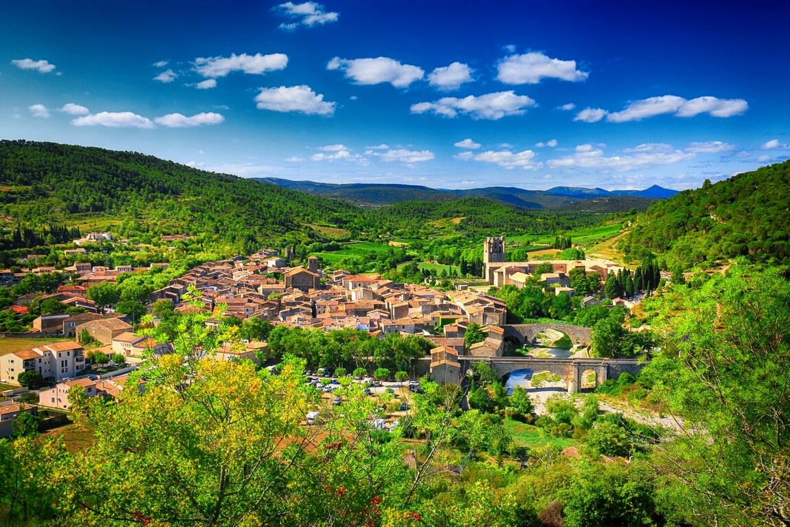
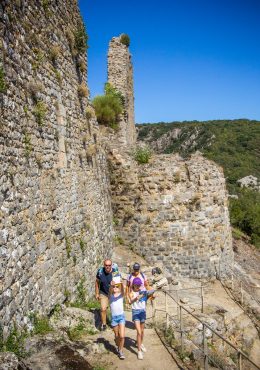
Following the fire in 2021, the trail is closed until further notice (safety work in progress). Departure from the Church Square. A few kilometers southwest of Moux, rises the ROC GRIS, a set of limestone ridges which culminates at an altitude of 418 m. This rocky spur today restores a historical heritage through ruins or legends. Indeed, the other name of Roc gris is ROC DE ROLAND. Legend has it that Roland, from this rocky spur and to escape his enemies, made his horse jump from the Alaric onto the Montagne Noire (on the other side of the Aude valley). The momentum of the steed was so powerful that the imprint of one of the hooves was forever embedded in the stone. To discover: panoramas (at Roc Gris) – summit of the Alaric signal in return (600m)

Walking

Your itinerary

SOFT

IGN map reference (s): IGN 2446 West

1

Step 1

From Place de l'Eglise, take Rue Ferdinand Théron to Avenue Henri Bataille. Continue opposite (on the GR77) via rue Prosper Mestre-Huc to exit the village. Pass in front of the tomb of Henri Bataille (poet and playwright of the XNUMXth century, originally from Moux) which faces a vineyard. Continue on the small road which passes under the highway. It rises a little to open onto the plain of Alaric where the vines dominate the space.
2

Step 2

Turn right (GR77) on a wide path at the foot of Roc Gris (note the buildings called "the lime kiln" where the alveoline limestone was processed, extracted from nearby quarries). Continue and pass in front of the ruins of the priory of Saint Pierre d'Alaric, then those of the Vidal farm. Shortly after, turn right and go up a valley along the Saint Pierre stream to reach a forest track (opposite, the GR77 climbs to Signal, the highest point of Alaric (A/R).
3

Step 3

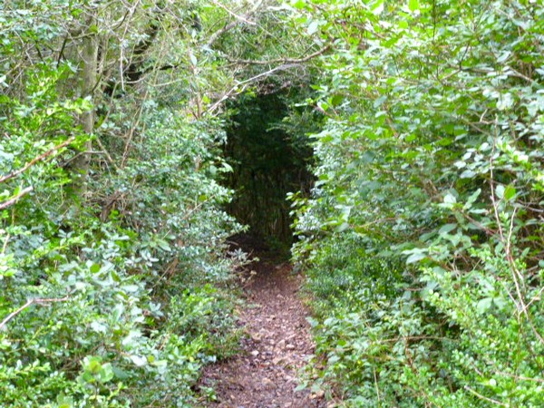
Take the track to the right for about 650m. At the 1st turn on the left (bend), the PR leaves the track to follow a path on the right (monotrace) in the kermes oaks (“Quercus coccifera”) (note the difference in vegetation between the two slopes: the forest that we have just left the shrubby and arid zone exposed to the wind on the plateau).
4

Step 4

The route goes down the ridge. At the second intersection (side point 263 m), the yellow markings of the PR go east and allow the hiker to pass in front of the "lime kiln", overlooking the quarry. We emerge upstream from the motorway bridge.
5

Step 5

Turn left to return to Moux.

Be careful, the fire risk is often high, especially in summer, and can lead to flower bed closures. Find out before you go consulting the fire risk map for outdoor activities.
Fires strictly prohibited. Do not smoke and never throw cigarette butts in nature. Fires are numerous and catastrophic in our region. In the event of a fire or accident: give alert 18 or 112 from a cell phone.
Protect yourself from the sun and take enough water with you.
Avoid picking flowers and plants. Take all your trash. Close fences and keep dogs on a leash in pasture areas, villages and protected areas.

Mountain bike routes: the routes are often shared with hikers or other users (cars, tractors, etc.). Be careful and always anticipate that a pedestrian may be present around a bend to have time to brake if necessary. Pedestrians have priority in principle, slow down at crossings or stop if the configuration of the terrain requires you to do so.
Thank you and happy hiking!

Reviews

Add a review

Your email address will not be published. Required fields are marked with *