Step 1
Step not located on the map
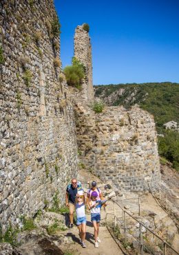
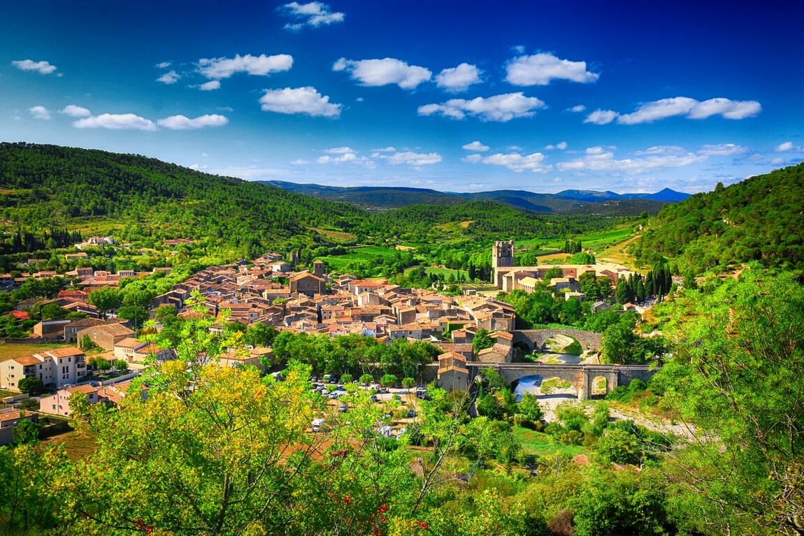
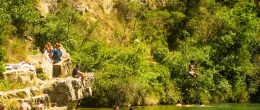
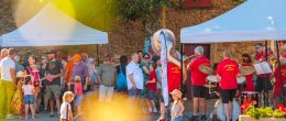
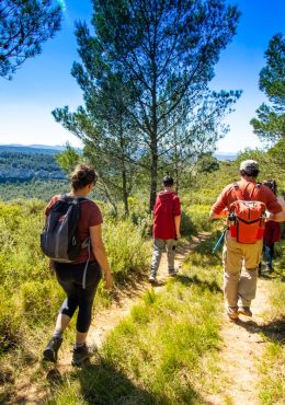
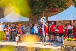
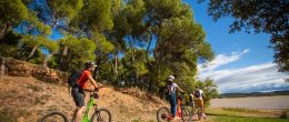
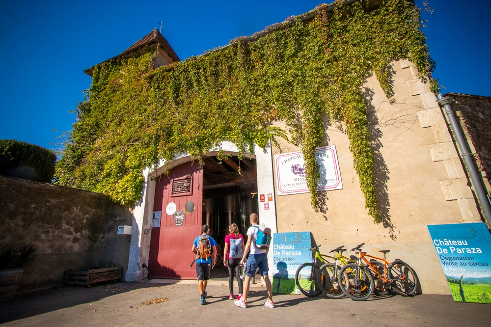
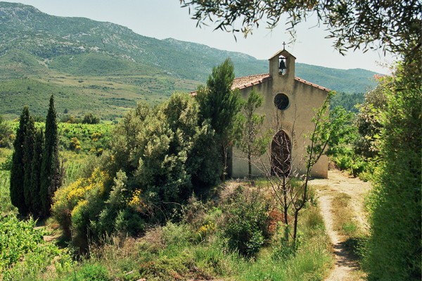
Topo description Go up on the D50 above the church and go down to the crossroads indicating Feuilla / Opoul. Continue on the D50. 20 m further on, (1) turn right onto the tarmac path which climbs towards the antenna at the top of Parendiou. Just before the summit, take a small path on the left. You enter the scrubland with a view of the surrounding plain and the surrounding massifs. Walk for a while on the ridge or on the right side of Parendiou hill. We can see the buildings of the cooperative cellar below (2). The path overlooks the chapel of Sainte Colombe *. The path descends and we set foot on a path. A return trip to the right leads in a few minutes (3) to the Sainte Colombe chapel, on the edge of the vineyard. Resume the route. The path leads to a small road, at an intersection. Cross the road and climb the embankment opposite. Follow the path that passes between the vines below and the D50 road above. (!) Pay attention to the markup. Then take the D50 road, walk a few meters to the right and at the fork (4), take the tarmac path furthest to the left after crossing the D50. Go up towards the pass. Before the road begins to descend, take a path on the left which soon turns into a path. Remains of a sheepfold and a few low walls revealing the agricultural occupation of the site. You come to the top of the Serre (5). Pay attention to the markup. Viewpoint over the village below. Go north-east along the Serre crest. Then turn your back frankly to dive down the eastern flank. When the path resumes a north orientation, we discover a capitelle on the left. Continue the path on the side and soon descend to the track. Go to the road. At the road, go down to the left towards the village (6). Then take the first path on the right to the cemetery. A few meters after the cemetery, in view of the first houses, turn right on the small road where you walk for 200 m. (7) Go down soon to the left on a path below the small road. Then go up on the side of the Sarrat de Labade by a path on the left of the path. The path goes around the Sarrat and you arrive above the village. Go down the successive paths towards the first house. Walk north-east along the village and after the castle tower * (dead end of the Red Doors), go down towards the Grand-Rue which you cross to find the church square.


Add a review