Step 1
Step not located on the map
- Departure from the Chai des Vignerons in Lézignan-Corbières. D611 on the right (avenue Frédéric Mistral), to the city center. - After the square, on the left avenue Armand Barbès. Continue straight ahead and exit Lézignan. - Pass under the D6113 then leaving the tunnel on the left. At the stop sign, right.
- 5 km. Conilhac-Corbieres. Stay on the D165 (rue du Château) - At the intersection, turn right D165 towards Montbrun-des-Corbières. Col de la Portanelle (171m).
- 8 km. Montbrun-des-Corbieres. Stay on the D165 (cours de la République).
- At the crossroads, on the left. Go down to the next crossroads.
- At the stop sign, turn right on D65 towards Escales.
- 10,5 km. Turn left towards Chapelle Notre-Dame-du-Colombier and Roquecourbe.
- 1st on the right to see the chapel. Return to the road and continue towards Roquecourbe.
- 14,5 km. Roquecourbe. Continue to the center of the village. - At the intersection on the right, route de Castelnau. Continue on the D127.
- 17 km Castelnau-d'Aude. Turn left towards La Redorte (D72). Cross the Aude.
- At the crossroads, cross the D610 (! caution, busy axis). Continue opposite on the D72 towards La Redorte.
- 19,5 km La Redorte. At the stop sign, turn left on the D11 towards the city center.
- After 150m, turn right onto the D72 towards Azille.
- 23 km. Azille. Turn right onto the D606 towards Homps and Jouarres. Continue on the D606. Cross the Canal du Midi. - At the crossroads, turn left on the D2610 towards Homps (just before the crossroads with the D610).
- 28,5 km. Homps. Continue on the D610 until the intersection with the D611.
- On the left direction Olonzac D610 (avenue du Minervois).
- 30,5 km. Olonzac. Turn right onto the D52E1 towards Béziers, Beaufort, Oupia.
- Roundabout, 3rd exit D910 Beaufort, Aigne etc.
- 33,5 km. Beaufort. Continue on the D910.
- 39 km. Aigne. At the intersection (in the village) turn left D177 towards La Caunette, Minerve.
- At the crossroads, turn left D907 towards La Caunette, Minerve, for 1 km (! caution, busy axis).
- 41,5 km. At the intersection, on the left D10 direction Minerve.
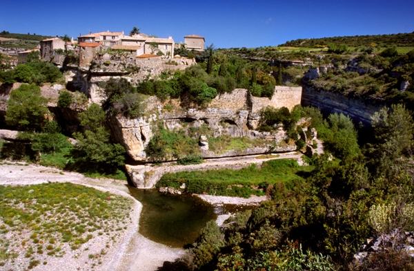
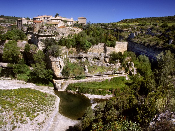
- 46 km. Neck brace. After visiting the village, return to the D10. - D10 towards Azillanet, Olonzac.
- 50,5 km. Azillanet. Cross the village. - At the roundabout, 1st exit D168 direction Cesseras, Siran. At the next intersection, continue on the D168.
- At the stop sign, right.
- 52,5 km. Will stop. Cross the village staying on the main axis. - At the intersection, continue straight, D168 direction Siran. - take the 1st street on the right (rue de la Martelle). Continue for 900m. At the intersection turn right. Take a left at the next two intersections. After the estate, do not miss the small chapel hidden between the pines.
- At the crossroads, turn right towards Siran D168. After the bridge, the 1st path on the left leads to the Dolmen des Fades. - Take the D168 back to Siran.
- 59 km. Siran. Roundabout, 3rd exit towards Azille.
- At the fountain, hang on the left avenue du pont du jour. Keep going straight. At the cemetery, follow the small road on the left to reach Pépieux. Before the ford, turn left and continue rue Saint Michel.
- 62 km. Pepious. At the intersection, turn right onto avenue du Causse (D206). - At the crossroads, turn left towards Olonzac (D115).
- Take the 1st right, avenue de la resistance (Lac de Jouarres sign).
- Jouarres lake (nautical activities and supervised swimming in summer).
- Continue on the small road, towards Homps. At the roundabout, 3rd exit. - 66,5 km. Homps. At the crossroads, turn right towards the city center, D610. Cross the Canal du Midi.
- At the intersection, turn left (D611).
- 50m before the crossroads, turn right.
- Cross the D610 (! caution), go straight ahead on the tarmac road. At the end, turn left and continue until the D611. - Right D611 (! caution, busy section of road), for 350m. - After the bridge, turn right on D65 towards Tourouzelle.
- 70,5 km. Tourouzelle. At the intersection on the right D527. Continue on the D527. After 1,6 km Sainte-Cécile Chapel on the left.
- 75,5 km. Castelnau-d'Aude. Continue on the D527. On the left rue du Jasmin. Continue on the D127 (avenue des Corbières).
- 78 km. Stopovers. At the intersection, turn right towards Lézignan-Corbières. At the stop sign, turn right, direction Montbrun. Church of Saint-Martin-d'Escales (XNUMXth century). - Follow the direction of Montbrun (D65).
- 81 km Montbrun-des-Corbieres. Until Lézignan, take the route taken on the outward journey in the opposite direction.
- on the left D165 direction Conilhac-Corbières (cours de la République). Pass of La Portanelle (171m).
- 85,5 km. Conilhac-Corbières: at the crossroads on the left D165 direction Lézignan-Corbières.
- Just before the D6113, turn left onto the small curved road. Go under the D6113.
- Continue to the center of Lézignan. Join the starting point by the same route as on the outward journey.
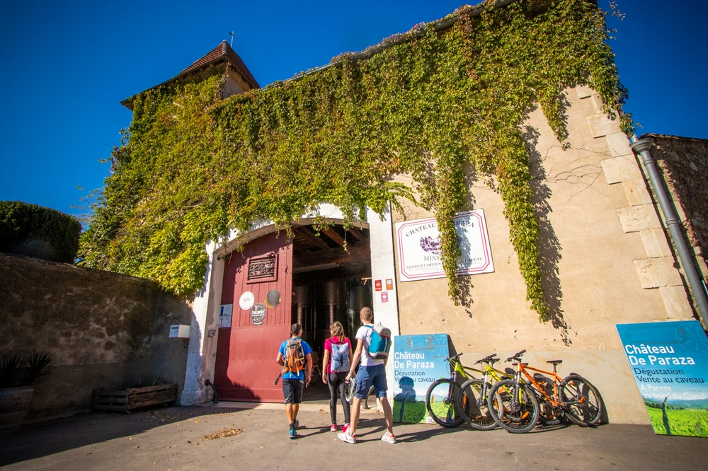
Find all the cycling services on www.tourisme-corbieres-minervois.com Rental and repair of cycles, as well as accommodation, cellars, estates and local shops, signatories of the cycling charter of the Corbières Minervois Tourist Country.





Add a review