Distance: 1,4 km
Duration (average) : 01h
Level: Very easy
Elevation: 28 D +
1 reviews

Departure: LEZIGNAN-CORBIERES
boucle
Yellow PR
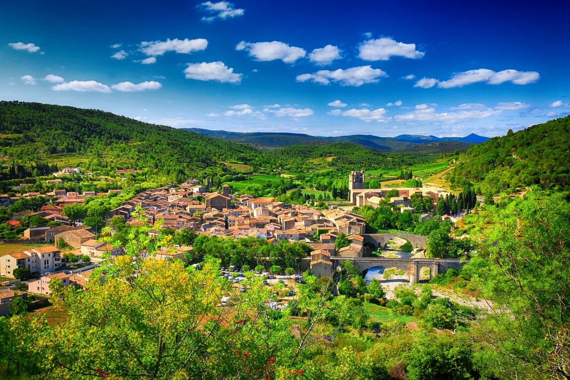
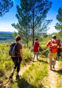
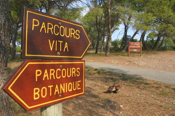
Mediterranean essences will no longer hold any secrets for you! From the RD 6113, follow the Chemin du Moulin à Vent then the Chemin de Montbrun until you reach an open area on the right, in the pines (see the Lézignan-Corbières Town Map). The circuit is marked out by 25 sheets on plots to read, concerning the different species present on this site of the Lézignan-Corbières pine forest, at a place called "Le Mourrel de la Torte". Each sheet gives the Latin, Occitan name, the family to which it belongs, the description, the history or the use of each species. One can notice on the course a particular holm oak (indicated by a sign), soaring straight up, of which a low lateral branch has been preserved. Further on, a viewpoint allows you to take in the entire expanse of the town of Lézignan-Corbières.

Walking

Your itinerary

LEZIGNAN-CORBIERES

IGN map reference (s): IGN 2445 East

1

Step 1

Cross the median to the north-west and take the first path on your left. (From the campsite, turn right onto avenue Gaston Bonheur and go up the Chemin du Moulin à Vent to the right then the Chemin de Montbrun, in the direction of the pine forest, to an open area on the right, used as a parking lot (see Lézignan-Corbières Town Plan).
2

Step 2

In the bend to the right, go down the path to the left, to the south. Cut the road, climb up the ravine path opposite. Higher, cross the track and continue the path opposite in the wood. Cross the tarmac path and continue in the woods.
3

Step 3

At the crossroads, go up the track facing north for about 70m.
4

Step 4

Slant on the path to the left and about 30 m further on, turn left (south). At the track, turn right.
5

Step 5

About 150 farther on, turn left onto a path in the pines. Go beyond a game culture. Soon, the horizon opens: point of view on the city of Lézignan and the Corbières. Go down the path, cross the road. Find the median.

Be careful, the fire risk is often high, especially in summer, and can lead to flower bed closures. Find out before you go consulting the fire risk map for outdoor activities.
Fires strictly prohibited. Do not smoke and never throw cigarette butts in nature. Fires are numerous and catastrophic in our region. In the event of a fire or accident: give alert 18 or 112 from a cell phone.
Protect yourself from the sun and take enough water with you.
Avoid picking flowers and plants. Take all your trash. Close fences and keep dogs on a leash in pasture areas, villages and protected areas.

Mountain bike routes: the routes are often shared with hikers or other users (cars, tractors, etc.). Be careful and always anticipate that a pedestrian may be present around a bend to have time to brake if necessary. Pedestrians have priority in principle, slow down at crossings or stop if the configuration of the terrain requires you to do so.
Thank you and happy hiking!

Reviews

Sebastien the Cathare The 21 July 2021
May 2021 quiet little walk in the pine forest of Lézignan. the botanical route is quite good but sometimes there are plaques and not the tree which is dead or has been cut down, the descriptions are clearly visible on the steles but not often the photos, suddenly difficult to recognize most of the time , it's a bit of a shame, it deserves maintenance

Add a review

Your email address will not be published. Required fields are marked with *