Distance: 12,2 km
Duration (average) : 04h
Level: Medium
Elevation: 491 D +
Departure: CASCASTEL-DES-CORBIERES
Yellow and green PR
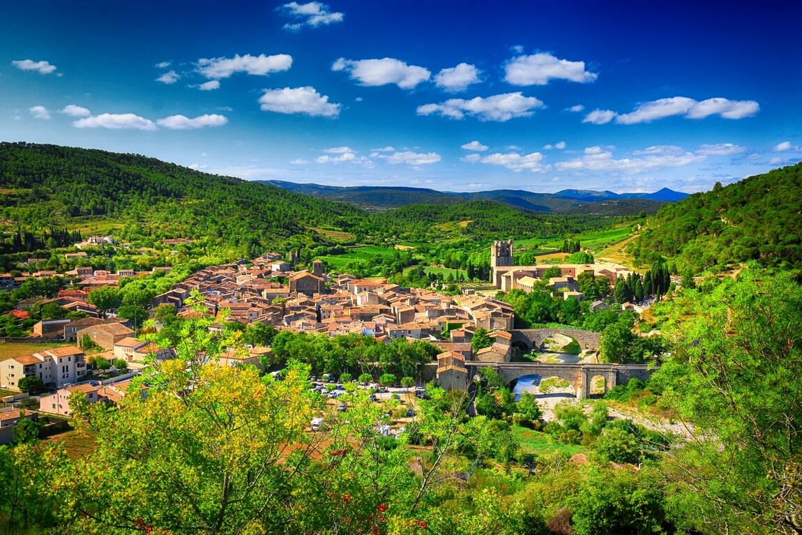
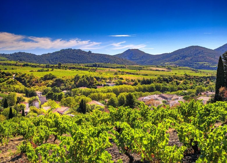
Departure next to the municipal center of Cascastel. You will go up to the virgin of Récaoufa: point of view on the massifs of Corbières. Another point of view on the Pech Montoulié when arriving at Embres and Castelmaure.

Walking

Ranking & labels

  • Vignobles et Découvertes

Your itinerary

CASCASTEL-DES-CORBIERES

IGN map reference (s): IGN 2447 OT, IGN 2547 OT

1

Step 1

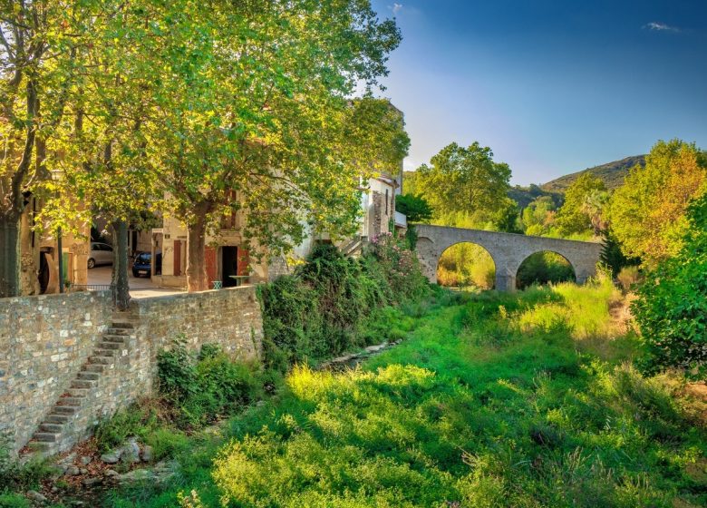
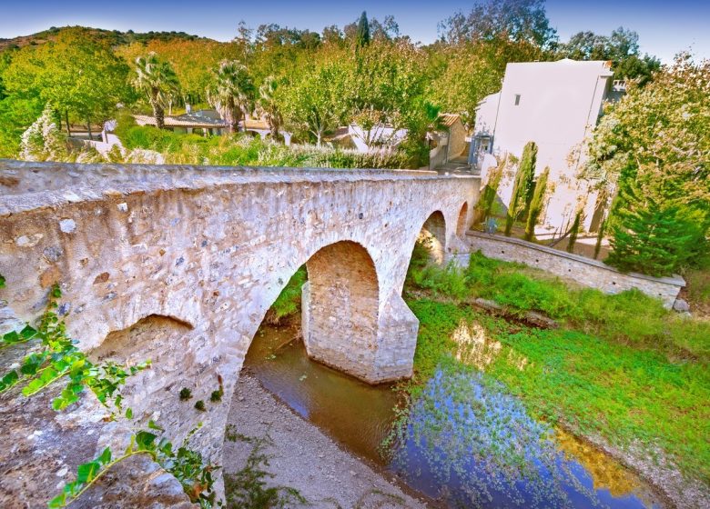
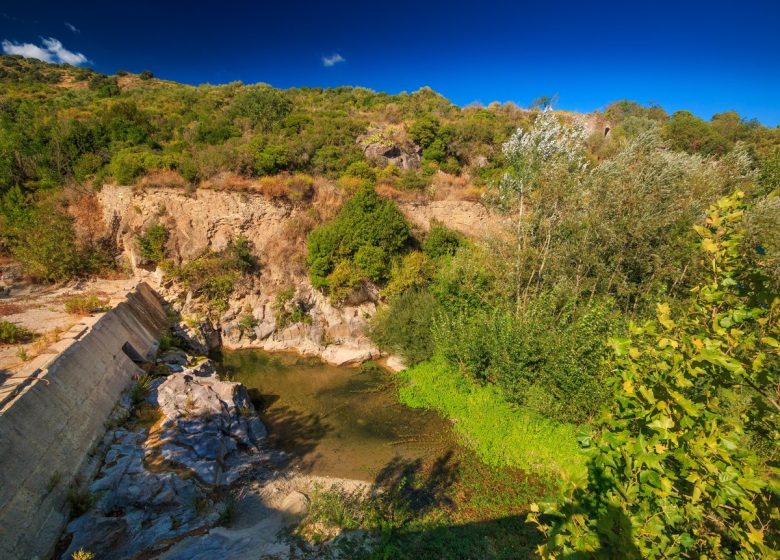
From the foyer, reach the village (note in passing the well-preserved 2011th century Tower, the stone bridge rebuilt identically in XNUMX). Cross the road bridge over the river, turn right and follow the Promenade des Jardins.
2

Step 2

At the Oliviers crossroads, take Chemin du Pontil on the right. Go down and cross the Berre by the submersible bridge. At the D 106, go left for 200m (you will pass near the cooperative cellar, famous for its Fitou and rosé wines).
3

Step 3

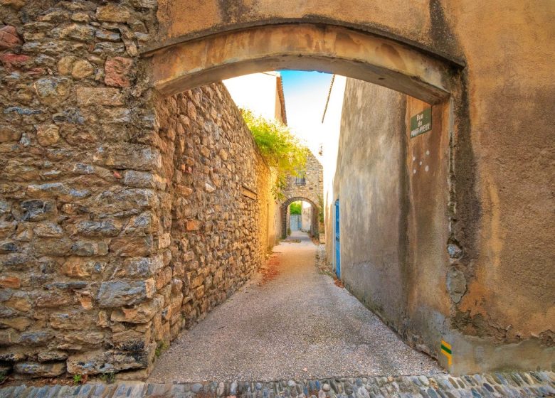
Go up to the right of the old Villeneuve ferry. An old rogations cross is on the right before arriving at the pass. Higher on the left, an old wheat mill and another oil mill. Go down in Villeneuve des Corbières through the streets of the old village, until the sign “la Ronde au cœur des Corbières”.
4

Step 4

Via the rue du Pech de Grill, take the route of the PR "la Vierge de la Récauouffa", yellow signposted (In the large curve, go down to the left by the path, leave the Balansa sheepfold on the left. Continue to the right. uphill, take the small path on the left, between the vineyard and the low wall. Continue along the path that climbs into the scrubland, leaving the rock of Récaoufa on the left. It comes out on the ridge facing the tower and to the Virgin of the same name). Arrival at the top, at the foot of the Virgin (376 m), (Viewpoint on the Corbières massifs).
5

Step 5

Go down the track facing south (Cathar trail). The schistose ground offers a vegetation of maquis with holm oaks, plantations of pines, arbutus, arborescent heather and kermes. At the bottom, the path flattens out along a wasteland of old vines. You then come to another track that you descend to the right for 500 meters before arriving at the road. Take the D205 to the right for 400 meters.
6

Step 6

Go up the path on the left (GR36; Sentier Cathare). At the end, we notice a ruined sheepfold on the right.
7

Step 7

Take the path to the left, uphill among the vines. It is then partly cemented. Continue straight on along a shaded path, skirting an area of ​​small gardens (basin, spring) (very gullied area).
8

Step 8

In the middle of the climb, take a flatter and more shaded path to the left.
9

Step 9

Continue the path to the left, on a ledge for about 300m. At the intersection, go down the track to the left, in the area of ​​vines and shrub plantations to the village. Point of view on the Pech Montoulié and its chain opposite.

Be careful, the fire risk is often high, especially in summer, and can lead to flower bed closures. Find out before you go consulting the fire risk map for outdoor activities.
Fires strictly prohibited. Do not smoke and never throw cigarette butts in nature. Fires are numerous and catastrophic in our region. In the event of a fire or accident: give alert 18 or 112 from a cell phone.
Protect yourself from the sun and take enough water with you.
Avoid picking flowers and plants. Take all your trash. Close fences and keep dogs on a leash in pasture areas, villages and protected areas.

Mountain bike routes: the routes are often shared with hikers or other users (cars, tractors, etc.). Be careful and always anticipate that a pedestrian may be present around a bend to have time to brake if necessary. Pedestrians have priority in principle, slow down at crossings or stop if the configuration of the terrain requires you to do so.
Thank you and happy hiking!

Reviews

Add a review

Your email address will not be published. Required fields are marked with *