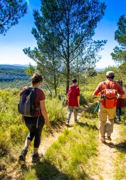
Your itinerary
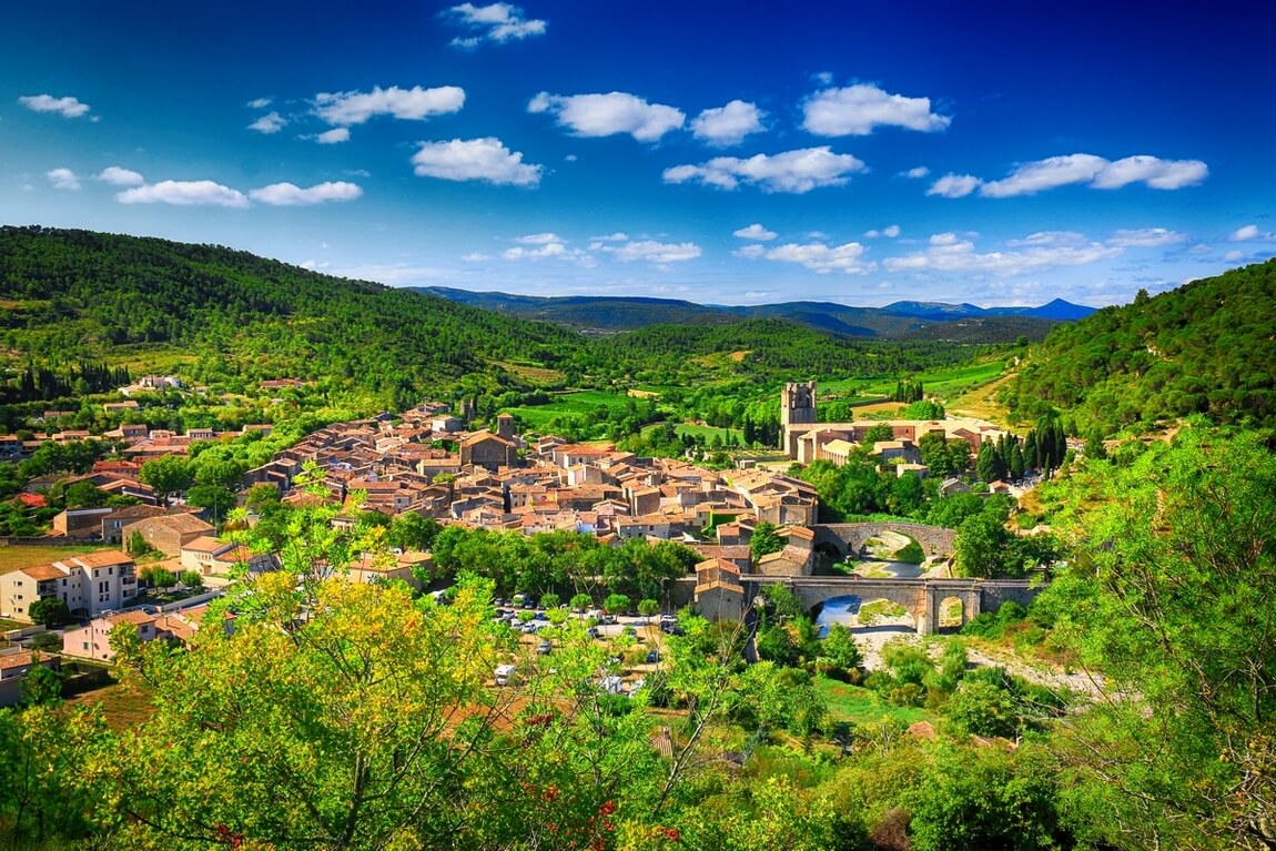
FITOU
IGN map reference (s): IGN 2547 West
1
Step 1
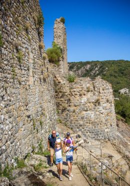
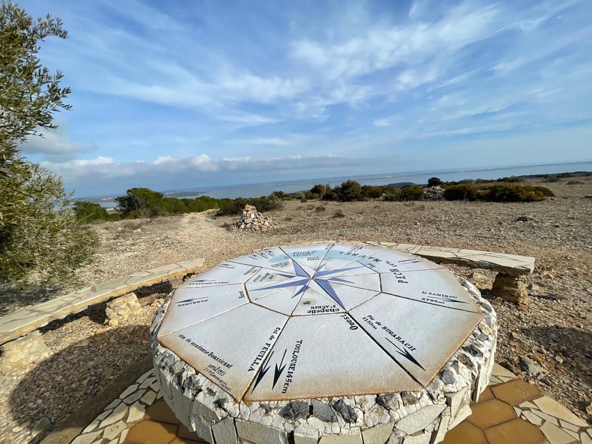
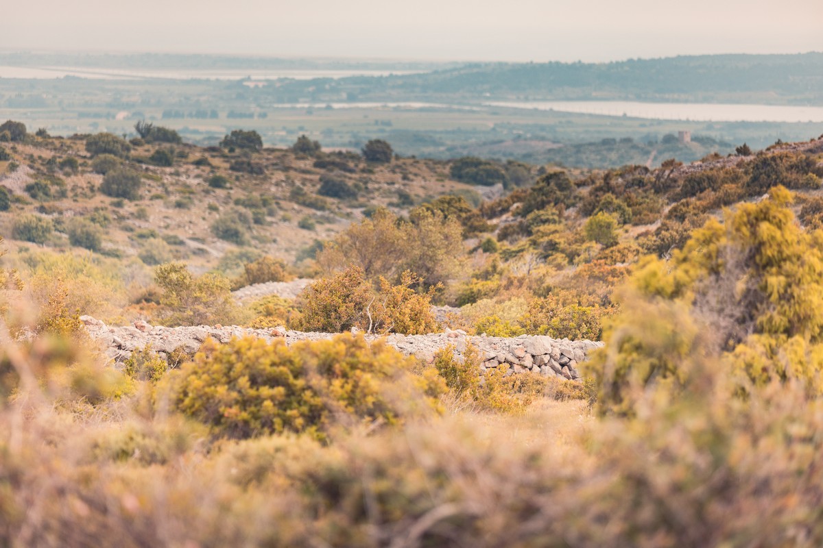
Departure: intersection rue du Vigné (behind the Town Hall) and rue des Garrigues (direction signs). Take the rue des Garrigues which quickly becomes a path that climbs, giving off beautiful views of the ponds with their oyster beds and the Mediterranean Sea. Follow it to the orientation table located at Pech Maurel
2
Step 2
Continue straight on the track. A little further at the crossroads, go straight ahead leaving a sheepfold on your right.
3
Step 3
At the wooden sign "Le Cortal de Marty" go straight and continue until the intersection between the path and the road to Opoul, turn right. At the "Y", go up the Feuilla road (D50) to reach the Col du Pré
4
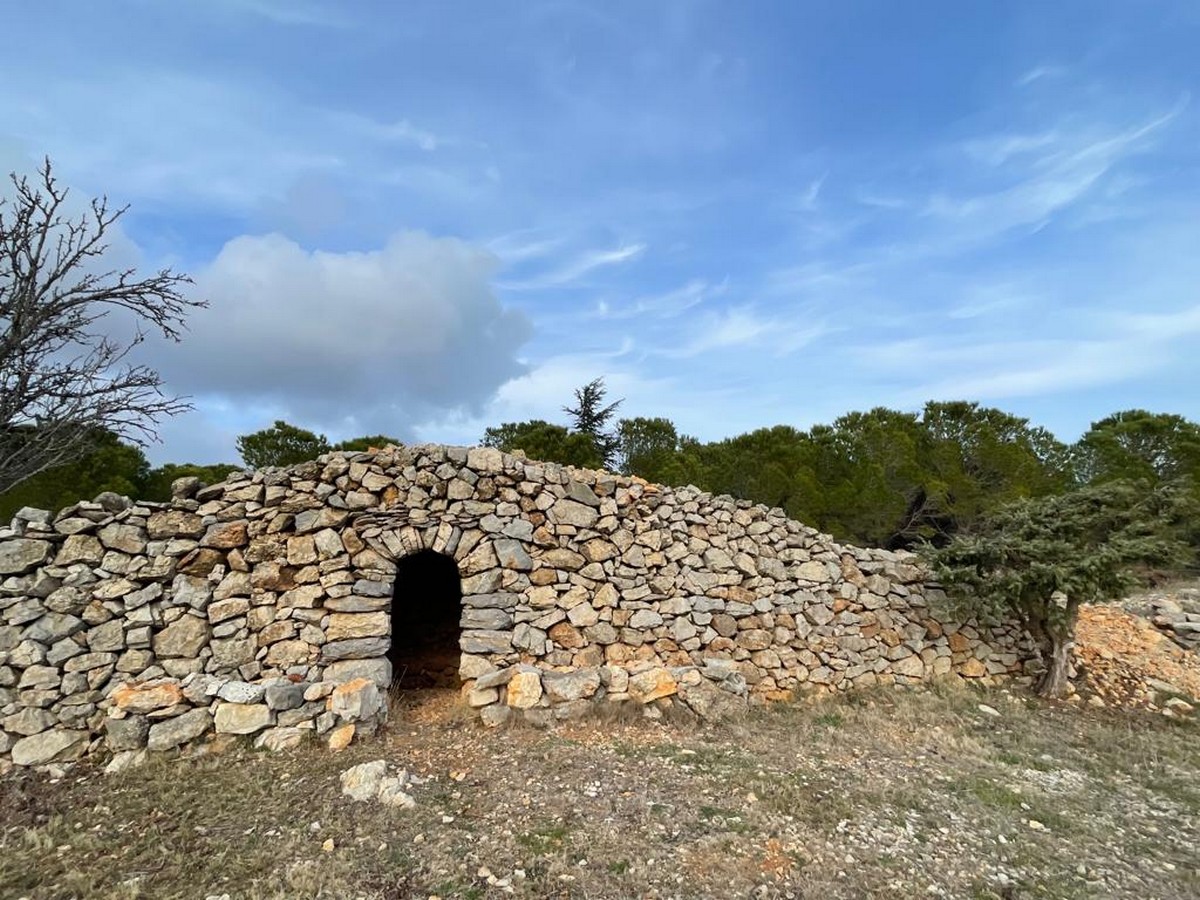
Step 4
Turn right, the paved road, you will see a capitelle. Don't miss the many capitelles on the Pujades trail.
5
Step 5
Take the paved road on your right which brings you back to the village. On the left you will find the table with the Compass Rose.
6
Step 6
Avenue du Levant at n°12, turn right and take the stairs that bring you back to face rue du Vigné.
Be careful, the fire risk is often high, especially in summer, and can lead to flower bed closures. Find out before you go consulting the fire risk map for outdoor activities.
Fires strictly prohibited. Do not smoke and never throw cigarette butts in nature. Fires are numerous and catastrophic in our region. In the event of a fire or accident: give alert 18 or 112 from a cell phone.
Protect yourself from the sun and take enough water with you.
Avoid picking flowers and plants. Take all your trash. Close fences and keep dogs on a leash in pasture areas, villages and protected areas.
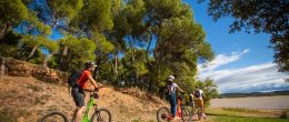
Mountain bike routes: the routes are often shared with hikers or other users (cars, tractors, etc.). Be careful and always anticipate that a pedestrian may be present around a bend to have time to brake if necessary. Pedestrians have priority in principle, slow down at crossings or stop if the configuration of the terrain requires you to do so.
Thank you and happy hiking!


Add a review