Distance: 19,5 km
Duration (average) : 06h
Level: Difficult
Elevation: 548 D +
Departure: ALBAS
Yellow and green PR
Departure from the small village square, route Villerouge.

Walking

Ranking & labels

  • Vignobles et Découvertes
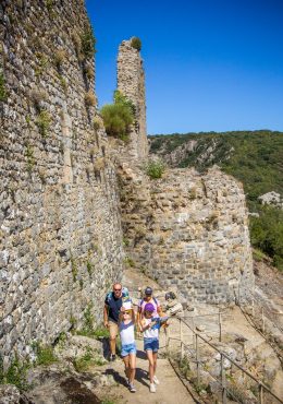
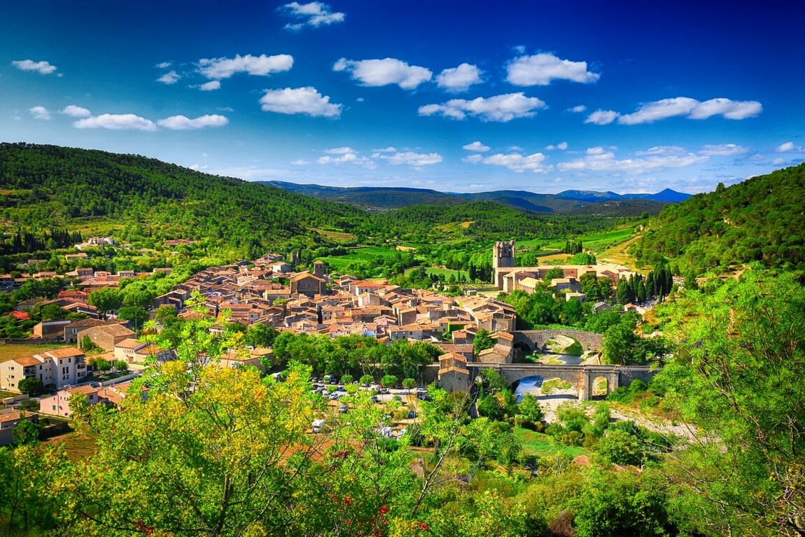
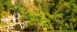
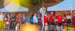
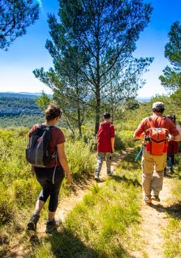
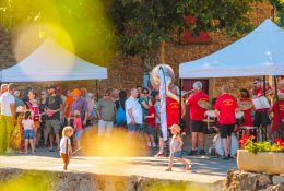
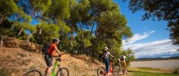
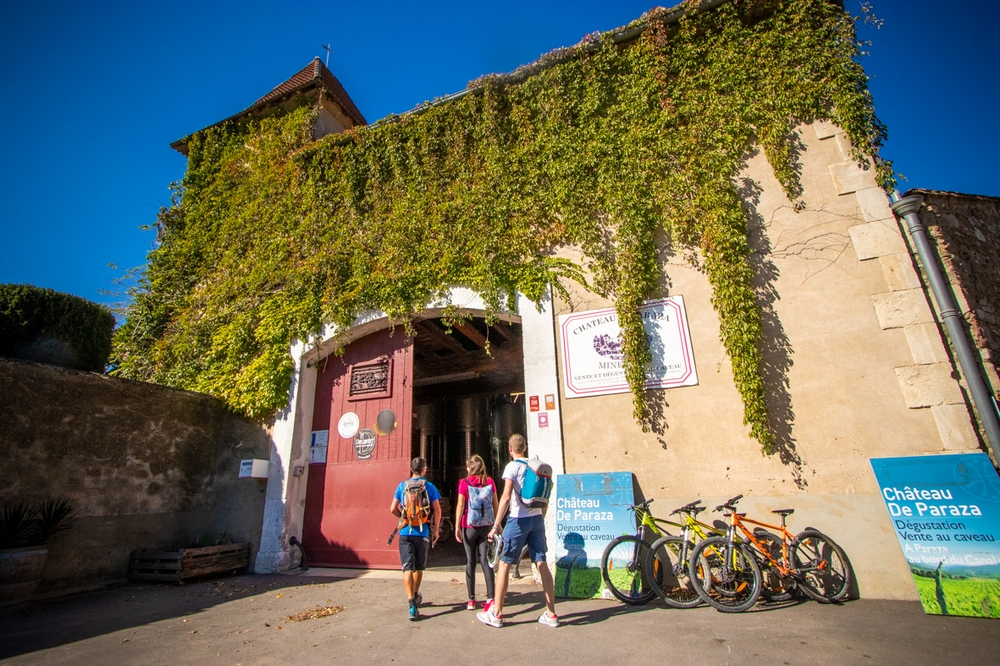
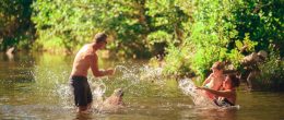
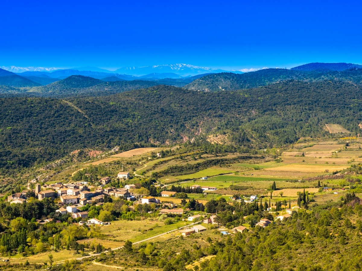
Your itinerary

Map List

ALBAS

IGN map reference (s): IGN 2447 OT

1

Step 1

Take the small street next to the sign for “Ronde au cœur des Corbières”, then turn left onto the path below the Espeyrols hill. This is the route of the yellow PR. We cross the rocky terraces following the stream (Magnificent colors), then the path climbs under the holm oaks overlooking the road to Villerouge. Arrival on a large median, called the "parking lot the Americans": crossroads of several tracks.
2

Step 2

Take the second path on the left. New crossroads of tracks: continue on the right path, under the holm oaks then along some orchards and crops. Arrival on a median, used as a turning point.
3

Step 3

Go down to the bottom, on the left, the shaded path. Arriving on a track, leave the yellow route and go up the track to the right.
4

Step 4

Leave the track, cross the stream and go up to the left in the oak wood by a very pleasant path.
5

Step 5

At the exit of the wood, go up to the left. Near the place called Sinsac, take the chemin de la Serre downhill until crossing the Berre on a cement ford. Walk along the river. The path is sometimes cemented, sometimes tarred. Pass in front of the ruins of an old water mill, on the other side of the stream.
6

Step 6

At the intersection, turn left on the small road (if you turn right, you can go to the source of Berre). Come out on the D123. Turn left towards the village of Quintillan. Find the sign for “La Ronde au cœur des Corbières” at the old cooperative cellar. After visiting the village, take the D123 towards Palairac.
7

Step 7

Turn left on the path about 150 m after the cooperative cellar. (This route is the return of the pedestrian loop marked in yellow. Deciduous trees, tree heathers, strawberry trees, holm oaks, various cistus punctuate the route.)
8

Step 8

At the Col de Mairolles, cross the central median and take the forest track on the left furthest downhill in front of it (balcony track and view of the forests and summits of Hautes-Corbières).
9

Step 9

At the Col de Tauleplette, leave the track in a hairpin bend to the left onto the median, then the downhill track which follows it (We arrive at a wine-growing area integrated into the Cascastel vineyard). Ignore all the paths to the right and left and continue straight. The path is cemented in places and runs along the Bélaurié stream.
10

Step 10

Arrival on a paved road (Lilacs, mimosas, Judean trees announce spring). Cross then follow the Landialette stream. Cross the small bridge over the Pradals stream.
11

Step 11

At the fork, continue straight ahead (steep cement climb) to come out on the D123 road. Turn right towards the village. At the intersection with the D106, take the direction of Albas, to find the municipal center (picnic area and sign for “la Ronde au cœur des Corbières”).
Full screen Close

Accommodation

  • Accommodation
  • Send

where to have a drink, to eat

  • where to have a drink, to eat
  • Send

Shops and Services

  • Shops and Services
  • Send

What to visit

  • What to visit
  • Send
Download :

Be careful, the fire risk is often high, especially in summer, and can lead to flower bed closures. Find out before you go consulting the fire risk map for outdoor activities.
Fires strictly prohibited. Do not smoke and never throw cigarette butts in nature. Fires are numerous and catastrophic in our region. In the event of a fire or accident: give alert 18 or 112 from a cell phone.
Protect yourself from the sun and take enough water with you.
Avoid picking flowers and plants. Take all your trash. Close fences and keep dogs on a leash in pasture areas, villages and protected areas.

Mountain bike routes: the routes are often shared with hikers or other users (cars, tractors, etc.). Be careful and always anticipate that a pedestrian may be present around a bend to have time to brake if necessary. Pedestrians have priority in principle, slow down at crossings or stop if the configuration of the terrain requires you to do so.
Thank you and happy hiking!

Reviews

Add a review

Your email address will not be published. Required fields are marked with *