Distance: 19,1 km
Duration (average) : 06h
Level: Medium
Elevation: 908 D +
Departure: DUILHAC-SOUS-PEYREPERTUSE
White and red GR
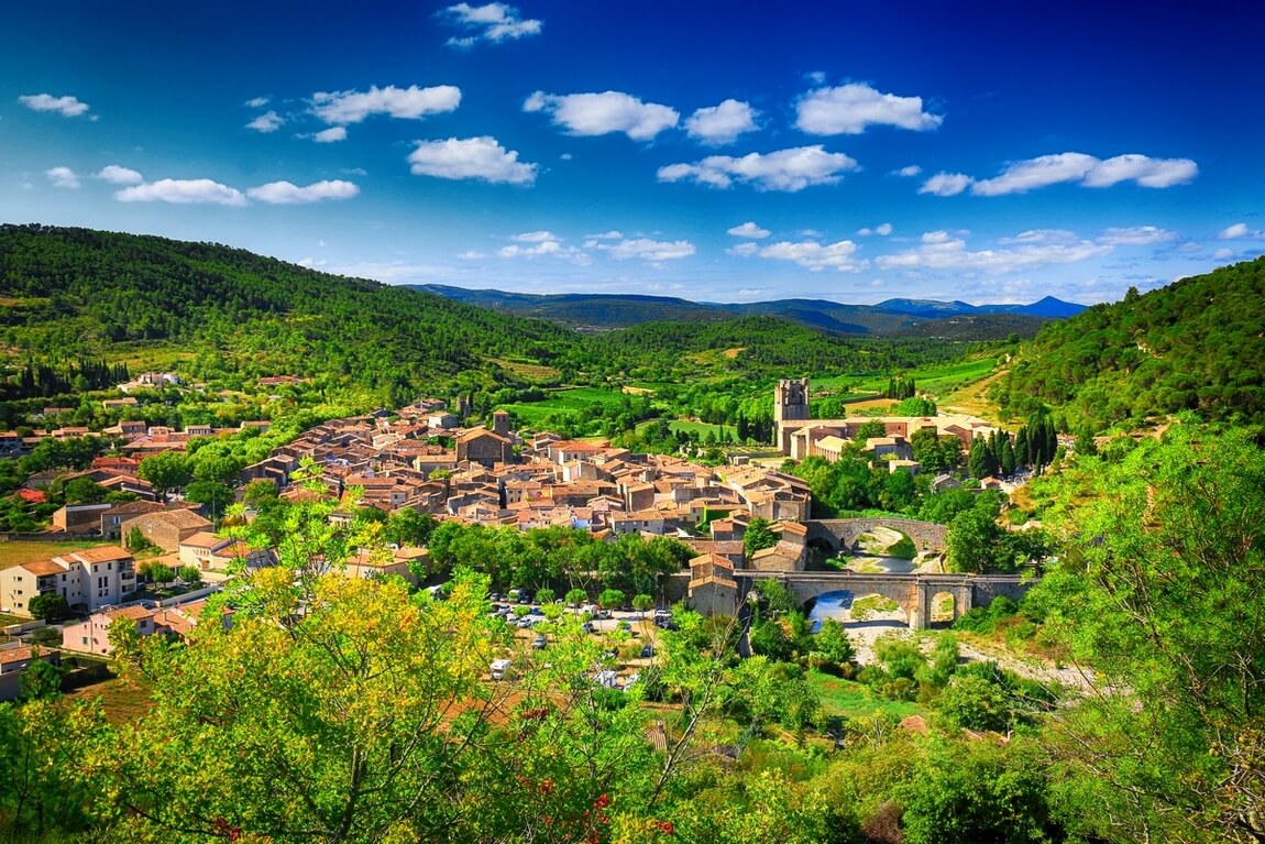
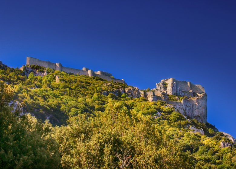
Duilhac, charming village built on an eminence in a green circus. Return to the GR® 36 to climb to the Château de Peyrepertuse (culminating at an altitude of 800 m, this citadel between heaven and earth straddles the cliff and blends in perfectly with the landscape; its area is equal to that of the City of Carcassonne; royal fortress , a former border post between the Kingdom of France and the Kingdom of Aragon, it is the finest example of military architecture in the Aude Pays Cathare, classified as a Historic Monument since 1908). Go around the Roc Rouge cliff and descend towards Rouffiac-des-Corbières. Walk through woods, valleys and wasteland to Laroque-de-Fa.

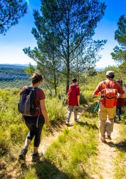
Walking

Your itinerary

DUILHAC-SOUS-PEYREPERTUSE

IGN map reference (s): IGN 2447 West Tuchan

1

Step 1

To find the GR 36, go up to the right in the direction of the castle of Peyrepertuse. Follow or cross the small road to the west until you reach the start of the track in a hairpin bend. (Junction with the GR 36 descending from the castle of Peyrepertuse)
2

Step 2

Leave the Cathare Trail / GR 36 which heads left towards Saint-Paul-De-Fenouillet and go up the road to the right for about 1 km (GR 36) towards Peyrepertuse. (Possibility to visit the castle (paying): access the ticket office by going up the road.)
3

Step 3

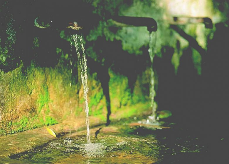
At the paragliding departure area (on the right), take the path on the right which goes into the boxwood and holm oak wood. Go around the Roc Rouge cliff, continue west. Take the dirt road to the right which accesses a source. Continue straight ahead and cross the D14. Continue opposite by the path. Take the track on the right above the village then the Chemin de La Jaquette on the left towards the first houses of the village.
4

Step 4

Go down the main street to the right (rue du Verdouble). Cross the bridge and leave the route de Montgaillard in a right turn. Continue north, past the antenna. Continue on an uphill path among the holm oaks on a chaotic and degraded ground (View of the fantastic cliff of the castle of Peyrepertuse which merges with the rocky spine). Go up in a straight line on the southern side of the mountain and at the level of the median, pass in front of a cistern. Ignore the right path. Turn right on the road (D 10) and arrive at the Col de Cédeilhan.
5

Step 5

Continue for about 50 m on the D 10 and descend a narrow steep path to the left towards the Cédeilhan farm. Continue to the left in front of the farm and to the track, again to the left uphill. Turn right to cross the Torgan. Follow straight ahead, as far as the vast ledge.
6

Step 6

At the Forest House of the Dead Elm (ruins), cross a deforested area and stay on the main path. Crossing the forest of l'Orme Mort, along the Font Charbonnière stream. On the left, view of the Roc de Matefagine.
7

Step 7

Leave a track on the left. Then ignore the path to the Carcassès gîte on the left. At a fork: follow the main path. Go down the Sou valley and walk on the track to cross the Pas de Fious. Continue on the track, ignore on the left the access to Borde Grande and the GR 36 going towards Mouthoumet and soon reach Laroque de Fa by the GR 36 / GR 36 A link. Turn right on the D 613 and return to the car park, exit east from the village.

Be careful, the fire risk is often high, especially in summer, and can lead to flower bed closures. Find out before you go consulting the fire risk map for outdoor activities.
Fires strictly prohibited. Do not smoke and never throw cigarette butts in nature. Fires are numerous and catastrophic in our region. In the event of a fire or accident: give alert 18 or 112 from a cell phone.
Protect yourself from the sun and take enough water with you.
Avoid picking flowers and plants. Take all your trash. Close fences and keep dogs on a leash in pasture areas, villages and protected areas.

Mountain bike routes: the routes are often shared with hikers or other users (cars, tractors, etc.). Be careful and always anticipate that a pedestrian may be present around a bend to have time to brake if necessary. Pedestrians have priority in principle, slow down at crossings or stop if the configuration of the terrain requires you to do so.
Thank you and happy hiking!

Reviews

Add a review

Your email address will not be published. Required fields are marked with *