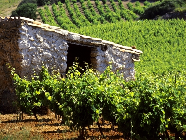
Distance: 16,2 km
Duration (average) : 05h
Level: Medium
Elevation: 519 D +
Departure: VILLESEQUE-DES-CORBIERES
Yellow and green PR
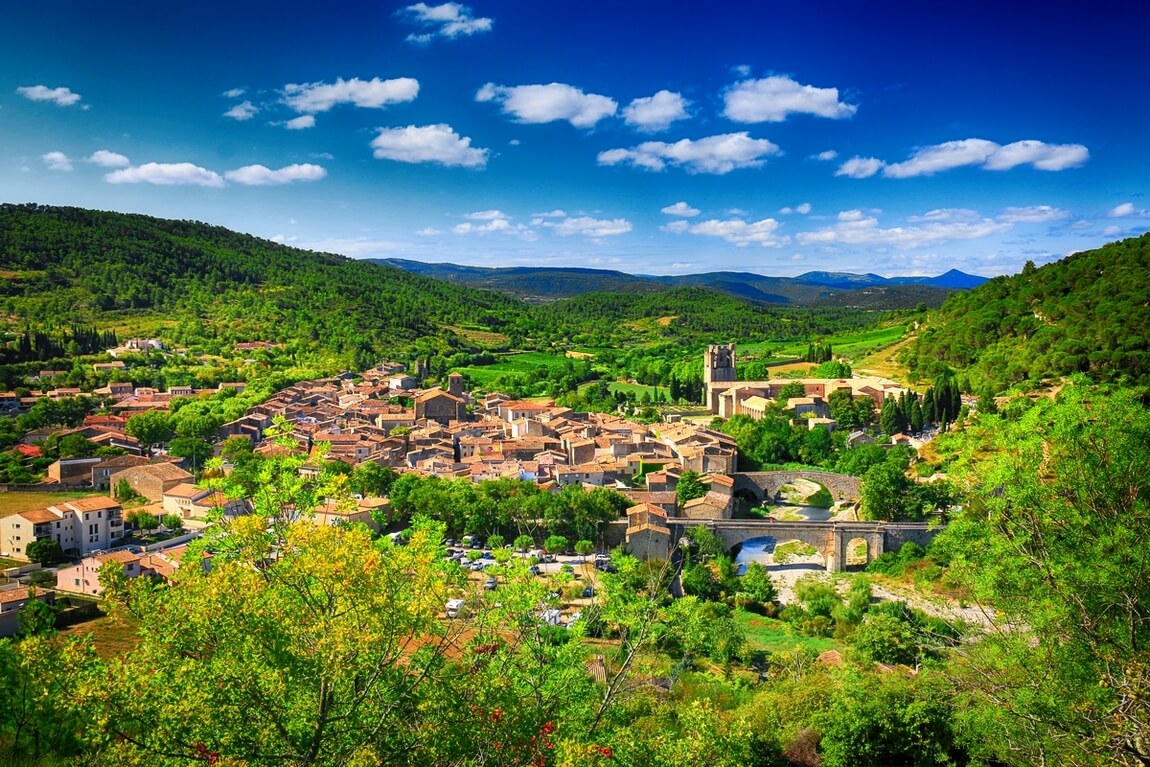
Departure from the square of the old town hall of Villesèque des Corbières.

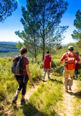
Walking

Ranking & labels

  • Vignobles et Découvertes

Your itinerary

VILLESEQUE-DES-CORBIERES

IGN map reference (s): IGN 2446 East, IGN 2547 OT

1

Step 1

Take the avenue de la Mairie and turn left into the main street. Facing rue du Foyer, take rue des Saules. Do not enter the Condamine housing estate and turn left onto the tarmac road to las Hieros.
2

Step 2

At the fork, take the lower path on the right, under a low wall, along a vine. At the end of the vineyard, find the small passage on the left in a tamarisk hedge. Cross the wasteland bypassing it on the left and aim for the electric poles in front. Then follow a good path between vines until you reach a small road. Take it to the left. Walk along a few gardens.
3

Step 3

About 200m further on, at the fork, turn left. The path goes around a vineyard. Cross a small ford. Go up on the path bordered on the right by dry stone walls. We enter a pine forest.
4

Step 4

At the 2nd fork, (2) take the lower path on the right, under a low wall, along a vine. At the end of the vineyard, find the small passage on the left (3) in a tamarisk hedge. Cross the wasteland bypassing it on the left and aim for the electric poles in front. Then follow a good path between vines until you reach a small road.
5

Step 5

About 600 meters higher, at the intersection, descend to the left towards the stream. The path runs alongside the stream to the right then to the left (Zone of old crops and dry stone walls, witnesses of subsistence agriculture). (At the bend of the path, you can see the wind turbines opposite on the Villesèque plateau). Arrival on a tarmac road. Leave the part of the path to the left which joins the D50.
6

Step 6

Turn right: follow the orange equestrian signs. The path climbs in a vineyard area: Serre Rouge. It then descends towards Durban (Plantations of olive trees and truffle oaks on the right). (Passage in front of a renovated sheepfold on the right). Then the path leads to the D611. Turn left to Durban.
7

Step 7

Cross the bridge over the Berre and go up towards the tennis courts. Follow rue de la Garrigue, Chemin du Belvédère. Take the route marked in yellow of the PR, in the Chamma site.
8

Step 8

Then take the variant marked yellow point on the right towards Les Pausades.
9

Step 9

Leave the yellow markings leading down to the Botanical House to turn right onto a path that joins a small asphalt road. Turn right. Pass and bypass the hamlet of La Salce on the right. Descend then go up a track that leaves Mont Viala, a characteristic rounded summit on the right. further on, the path runs alongside the Salobert stream. View of Mont Saint Victor.
10

Step 10

Arrival at a small road. Turn left on the small bridge. Pass in front of the Cabanut sheepfold. The road gives way to a path (We cross an area of ​​ancient crops and vineyards, decorated with cypress trees in the form of sentinels). Notice on the right some rocks with curious shapes.
11

Step 11

After a short but severe climb we reach the Col de Vente Farine. After the pass, continue straight on the track for about 370m, up to the road to Mont St Victor (cypress hedge). Get off on the road.
12

Step 12

Turn at the corner of a vineyard on the 1st path on the left. Go up this path, a portion of which is concrete and after a bend to the left, turn right into a wasteland. The path follows the scrubland. After having plunged on the other side, you soon reach a well-marked balcony path which descends gently to the stream. Take the stream to the right for a few meters then climb towards the D123.
13

Step 13

Take the small road opposite which will lead you to Fontjoncouse, in front of the old fountain (sign for “la Ronde au cœur des Corbières”).

Be careful, the fire risk is often high, especially in summer, and can lead to flower bed closures. Find out before you go consulting the fire risk map for outdoor activities.
Fires strictly prohibited. Do not smoke and never throw cigarette butts in nature. Fires are numerous and catastrophic in our region. In the event of a fire or accident: give alert 18 or 112 from a cell phone.
Protect yourself from the sun and take enough water with you.
Avoid picking flowers and plants. Take all your trash. Close fences and keep dogs on a leash in pasture areas, villages and protected areas.

Mountain bike routes: the routes are often shared with hikers or other users (cars, tractors, etc.). Be careful and always anticipate that a pedestrian may be present around a bend to have time to brake if necessary. Pedestrians have priority in principle, slow down at crossings or stop if the configuration of the terrain requires you to do so.
Thank you and happy hiking!

Reviews

Add a review

Your email address will not be published. Required fields are marked with *