Distance: 17,6 km
Level: Difficult
Elevation: 592 D +
Departure: VILLESEQUE-DES-CORBIERES
boucle
MTB Black
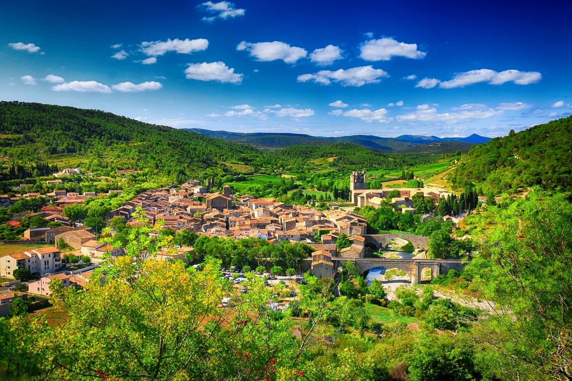
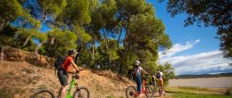
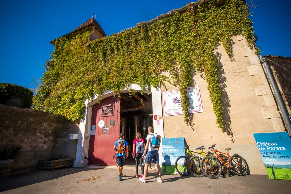
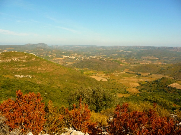
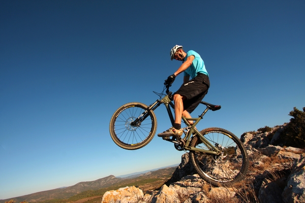
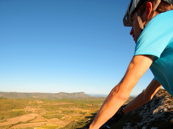
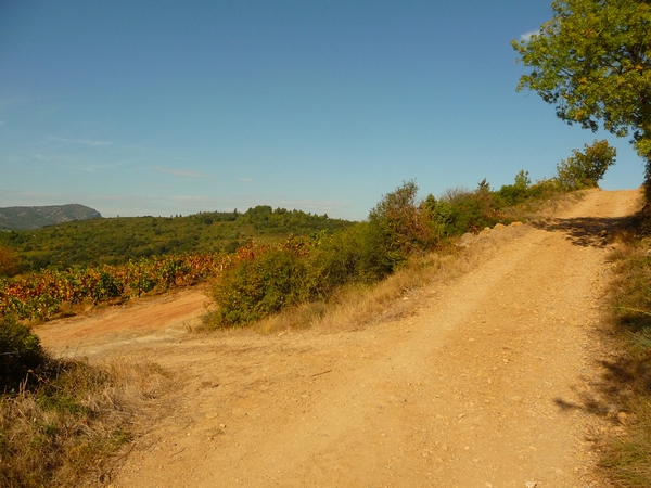
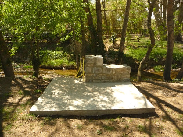
Technical climb to the Bosc plateau by the Cabayride path; you will then rub shoulders with the great steel monsters (viewpoint over Port-la-Nouvelle and the Mediterranean); Dangerous descent and technical climb on the Cathare Trail: do not hesitate to push the bike. Finally, a well-deserved rest at Château Bonnafous in the shade of large trees. Circuit 4 of Espace VTT-FFC 198 To see: Villesèque des Corbières: vestige of the medieval walls (original castle). Viewpoints: Place called "La Roque de Mate" (292 m); the old sheepfold (277 m).

By mountain bike

Ranking & labels

  • MTB-FFC sites
  • Vignobles et Découvertes

Your itinerary

VILLESEQUE-DES-CORBIERES

IGN map reference (s): IGN 2547 OT

1

Step 1

Take the D50 towards Villesèque. 500 m later, turn right then after the bridge on the left. Walk along the plots (! Markup) to the village. Follow the pedestrian route and climb up the Chemin de la Cabayride to the Bosc plateau. Pass in front of the wind turbines and continue on the track. Then turn right onto the Sentier Cathare. Descend by a sporting path along the cliff (! Danger) towards the D50 and continue opposite on the Cathare Trail (! Steep and two-way). Before the D611, turn right and follow the equestrian route (orange signposted). Leave it for a path on the left along the Bebedou ravine. At the small road, go right until the D50. Find the Bonnafous castle on the left.

Be careful, the fire risk is often high, especially in summer, and can lead to flower bed closures. Find out before you go consulting the fire risk map for outdoor activities.
Fires strictly prohibited. Do not smoke and never throw cigarette butts in nature. Fires are numerous and catastrophic in our region. In the event of a fire or accident: give alert 18 or 112 from a cell phone.
Protect yourself from the sun and take enough water with you.
Avoid picking flowers and plants. Take all your trash. Close fences and keep dogs on a leash in pasture areas, villages and protected areas.

Mountain bike routes: the routes are often shared with hikers or other users (cars, tractors, etc.). Be careful and always anticipate that a pedestrian may be present around a bend to have time to brake if necessary. Pedestrians have priority in principle, slow down at crossings or stop if the configuration of the terrain requires you to do so.
Thank you and happy hiking!

Reviews

Add a review

Your email address will not be published. Required fields are marked with *