Step 1
Step not located on the map
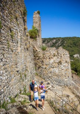
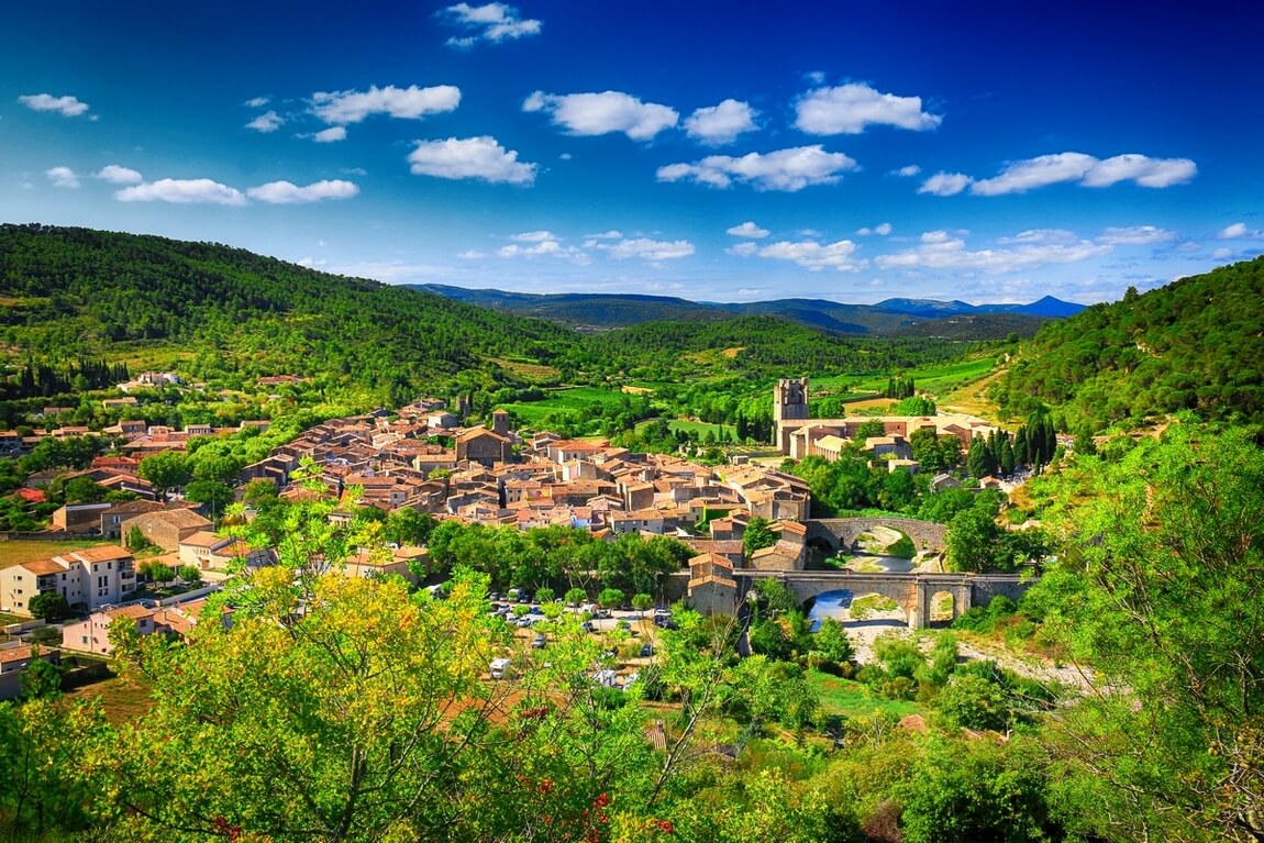
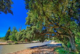
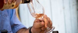
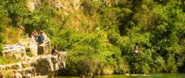
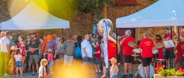
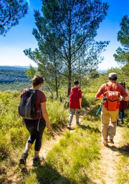
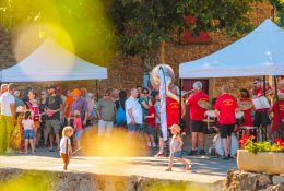
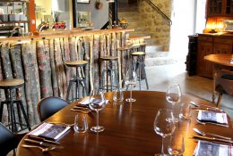
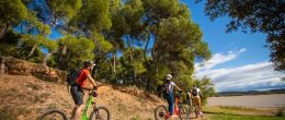
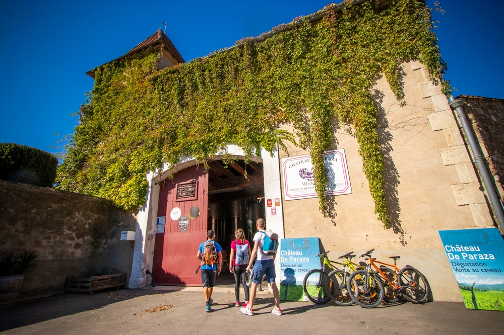
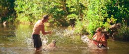
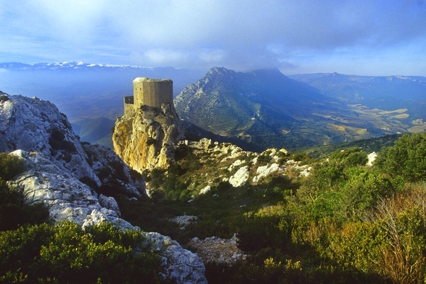
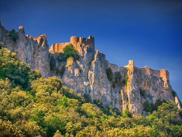
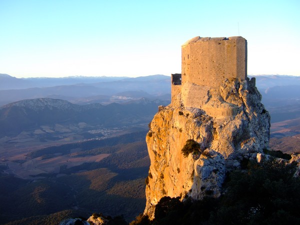
- From the car park, go back down to the Tourist Office and the D14. - Take the D14 on the right for a few meters. - At the crossroads, turn left onto the D123 towards Maury. Col de l'Auzine (345m). - Château de Quéribus, central site of the Cathar Country: to get there, turn left following the signs (from the D123, return trip 3km, D + 170m). Come back to the D123 and take it to the left towards Maury. - Continue on the D123. At Grau de Maury (436m), it becomes D19 (passing through the Pyrénées Orientales). - at the intersection, continue on the D19 towards Maury. - 7,5 km. Maury. - At the crossroads, turn right onto the D117 towards Foix, Saint-Paul-de-Fenouillet (! Caution, busy axis). - Roundabout, 2nd exit towards Foix, Saint-Paul-de-Fenouillet. Continue on the D117. - 15 km. Saint-Paul-de-Fenouillet. - Roundabout, 2nd exit towards Foix, Caudiès-de-Fenouillèdes. Continue for 450m. - At the intersection, turn right towards Center Ville, Gorges de Galamus (D7) - Continue to the right towards Cubières-sur-Cinoble (D7), Gorges and Hermitage of Galamus. - Cross the railway line and continue on the D7. - The Hermitage of Galamus is on your left (parking lot). - Go down through the gorges of Galamus. The D7 becomes D10 while passing through the Aude. - 25 km. Cubières-sur-Cinoble - At the intersection, turn right D14 towards Soulatgé, Tuchan. Col d'en Guilhem (498 m). - 30 km. Soulatgé. Continue on the D14. - at the intersection, continue on the D14 direction Duilhac-sous-Peyrepertuse. Col de Grès (406m) and Col de la Croix Dessus (403m). - 38 km. Duilhac-sous-Peyrepertuse. - Château de Peyrepertuse, pole site of the Cathar Country: beware, the climb is steep (8km return, return + 400m). To reach the castle, follow the signs to the right. Go back down to the D14 and take it to the right. - Plan d'eau du Moulin de Ribaute: just after leaving the village, go down the small road on the left to reach Le Verdouble. Supervised swimming in season. Return to the D14. - Continue on the D14 towards Cucugnan. Col du Triby (344m). - 43 km. Cucugnan. Do not miss the Achille Mir theater in the village (ticket combined with the Quéribus castle) and the Omer windmill (restored). Several tasting breaks are possible in the estates and cellars that have signed our bicycle charter (to be found by checking the cycle tourism tab). Find all the bicycle services on our site: bicycle rental and repair, as well as accommodation, cellars, estates and local shops, signatories of the Corbières Minervois Tourist Country cycling charter. Openrunner ID 4282144
Add a review