Distance: 7,4 km
Duration (average) : 02h
Level: Medium
Elevation: 352 D +
Departure: ALBAS
boucle
Yellow PR
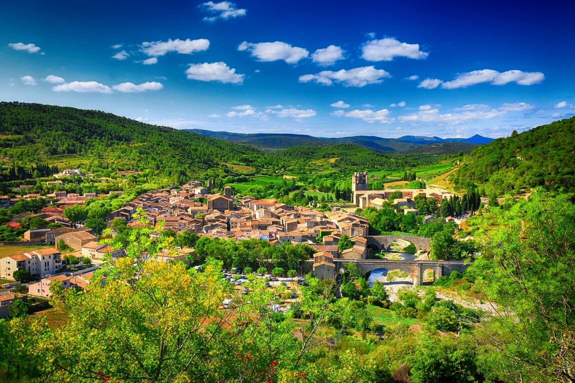
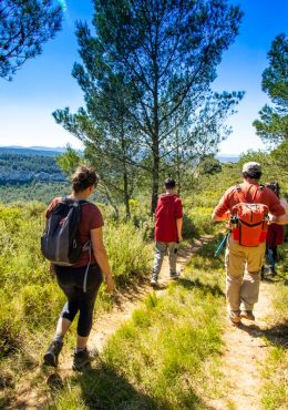
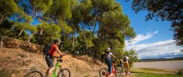
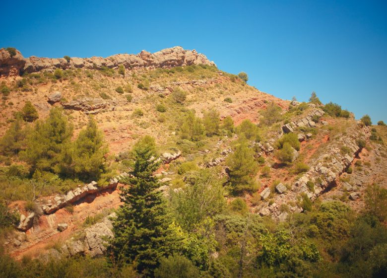
Departure from Hunters Square. Hike in the red lands between scrubland and holm oak forest. You can admire the old Ilhe water mill and, from the heights, the pretty little village of Albas, dominated by its crenellated church.

Walking

Your itinerary

ALBAS

IGN map reference (s): IGN 2447 West

1

Step 1

Leave the place des chasseurs by the south downhill and turn right into rue de l'Ormeau.
2

Step 2

Turn left on the path. Continue on the path south. Avoid joining the road. Cross the Mediterranean scrubland. A little further, follow the Périllou stream which presents a succession of basins (often dry in summer).
3

Step 3

Climb on the opposite slope which will be wooded with different and abundant vegetation. On the left going up, notice the parallel levels forming the side of the syncline coming up obliquely against the wooded massif known as Mouthoumet. Cross a small pine forest to reach the old path used by the villagers who worked in the fields and mines. Admire, passing the retaining walls which, here and there, have withstood the wear and tear of time. This shaded path which climbs towards the Col de Villerouge, has a sandstone and acid soil.
4

Step 4

At the pass near a sheepfold, take the path furthest to the left. He plunges into a forest where the holm oak dominates.
5

Step 5

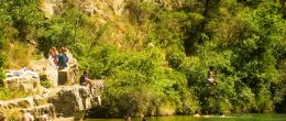
In a bend, go down to the right by the path along ancient cultures. The path winds up to a track. Go left at the edge of the Quiès stream, without missing the old Ilhe mill. He lost his roof but the walls covered with ivy and moss seem to defy time. (However, it is dangerous and strongly discouraged to enter). The place at the water's edge is peaceful, shaded and invites you to take a break. Take the path back to a crossroads of tracks. Go up on the left one.
6

Step 6

In the bend, fork to the right on a small, engaging path despite the drop. It comes out on a track. Take it to the right towards Roc Miquel (407 m) through a magnificent oak wood. On the ridge, ignore the paths to the right.
7

Step 7

Leave the track for a path offering a splendid view of the village, dominated by its crenellated church (XNUMXth century). The route takes the last part of the old path from Albas to Quintillan. The path descends in the coolness of holm oaks and box trees to the Périllou stream. Cross then join the large pine tree on the left then the village.

Be careful, the fire risk is often high, especially in summer, and can lead to flower bed closures. Find out before you go consulting the fire risk map for outdoor activities.
Fires strictly prohibited. Do not smoke and never throw cigarette butts in nature. Fires are numerous and catastrophic in our region. In the event of a fire or accident: give alert 18 or 112 from a cell phone.
Protect yourself from the sun and take enough water with you.
Avoid picking flowers and plants. Take all your trash. Close fences and keep dogs on a leash in pasture areas, villages and protected areas.

Mountain bike routes: the routes are often shared with hikers or other users (cars, tractors, etc.). Be careful and always anticipate that a pedestrian may be present around a bend to have time to brake if necessary. Pedestrians have priority in principle, slow down at crossings or stop if the configuration of the terrain requires you to do so.
Thank you and happy hiking!

The red-headed shrike
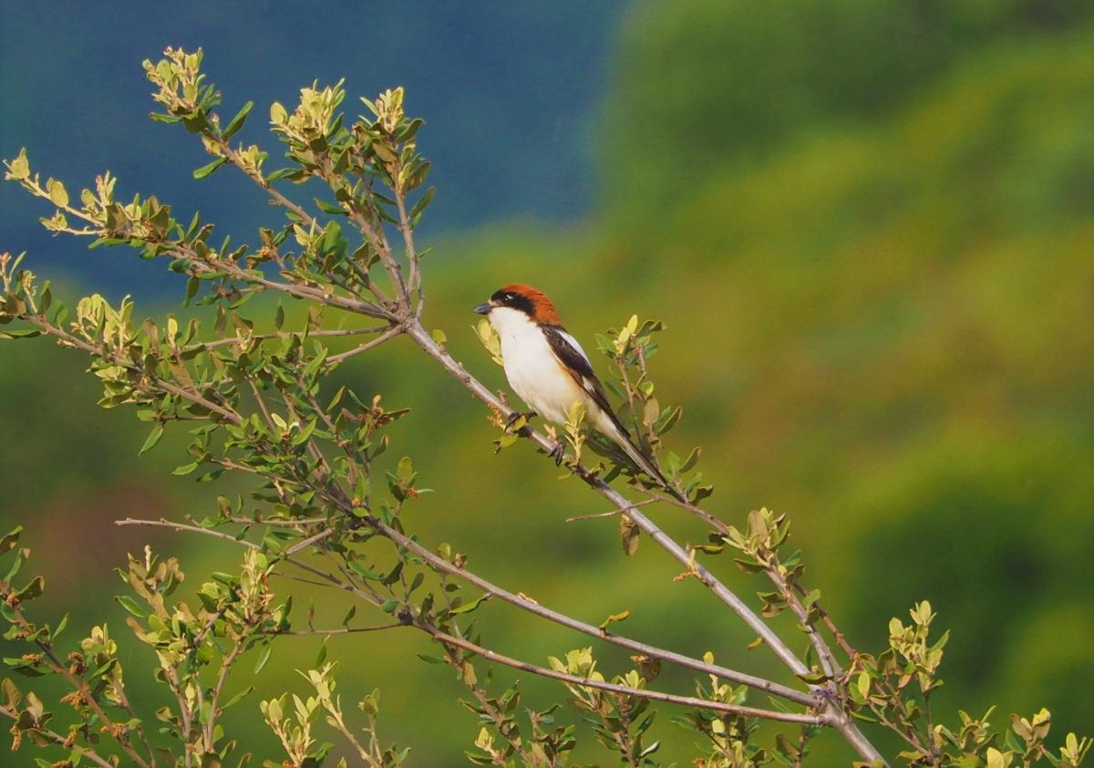
Easily recognizable with its red crown, black headband and back, the Red-headed Shrike is often visible perched on a vine post or an isolated tree. Insectivorous, it returns from its African winter quarters in April, and remains in the territory until September.

Reviews

Add a review

Your email address will not be published. Required fields are marked with *